You Are Here: Maps As Influence
Our friends and old neighbors Creativity Explored in San Francisco have a new art show opening April 15th called Where Are We? which takes the concept of maps as the basis of the exhibit:
"This includes, but is not limited to, painting and drawing on maps, using maps as collage material, and drawing maps from scratch. While some of the artists working with this theme embrace the challenge of integrating maps into their oeuvres, others take a more individualized approach by creating maps of their home countries, while yet others use the topic of maps to explore fresh new subject matter."

image from creativityexplored.org
Maps have always had a strong influence on us with their combination of the artistic and the practical. They are a necessary part of getting from one point to the next--even now with online maps and GPS we live with maps more than ever--but they can also be beautiful and intricate and create not just a physical manifestation of where we live, but also another two dimensional world we wished we could live in. They have always been part of our world view, a visual representation of Earth where we imagine ourselves going from tiny point to tiny point.
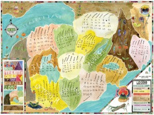
Lart made two amazing projects based on maps: Lakes and Territories of the Greater 2008 and 2009 Railways. Both were a calendar on one side and a poster on the other, so that at the end of the year you could flip it over and have a poster with no indication that it was ever a calendar (we've always been bothered by how calendars basically become obsolete once the year is over and loved this dual use idea brought to us by Jennie Smith).

The Lakes and Territories of The Greater 2008

the back of Lakes and Territories
The map drawings were created as a map to each given year, with the months as territories/states on one and subway stops on the other. It was a common thing in our store to have people ask "what is this a map to?" and not always understanding the answer of "the year 2009." Especially with how pervasive calendar dates are out there with your computer, iphone, etc, we thought it was nice to have a calendar that's not so straight-forward and forces you to stare at it a bit.

2009 Railways Map Calendar

the back of 2009 Railways
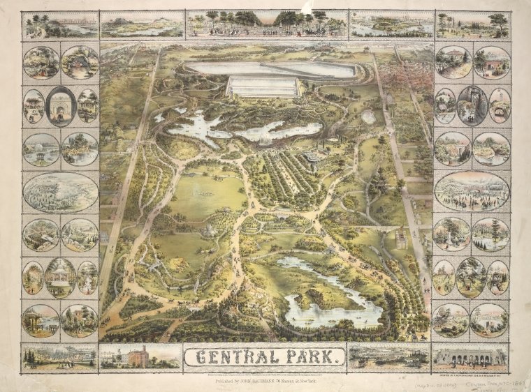
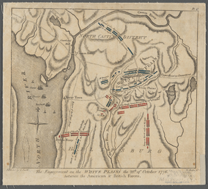
The NYPL has another great exhibit (in the same space the Ehon exhibit was in) ending on June 26th that is based on maps called, Mapping New York's Shoreline, 1609-2009. We saw it when we were in New York last October and it was really great, almost overwhelming with how many maps there were. It was fascinating to see the way the city grew and changed, what geographic misconceptions existed, and the craftsmanship and artistry of old maps. On their revamped website they also have a Map Blog pulling things from their extensive map collection.
images from nypl.org


